.png)
%20(Medium)%20(Small).JPG)
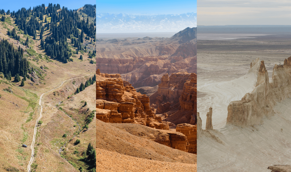
Between the endless steppes, the ochre canyons, the high-altitude lakes and the lunar deserts, Kazakhstan hides a variety of landscapes rarely matched anywhere else in Central Asia.
Here is our selection of the 12 most unusual sites in the country, from easy excursions near Almaty to remote destinations in the Mangystau, reserved for the most curious travelers.
Isolated in the middle of the steppe, about three hours' drive from Almaty, this sand dune rises to nearly 150 meters, with no other dune accompanying it for kilometers around.
Its distinctive feature: in dry weather, when the sand slides down the slope, it produces a deep, continuous rumble, which gives the dune its name.
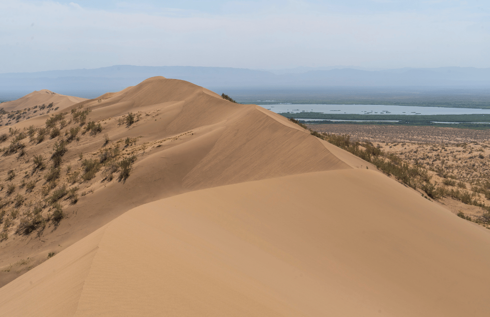
The site is located in Altyn-Emel National Park, accessible from the village of Basshi, and is best visited early in the morning, before the heat makes the climb too difficult.
Also within Altyn-Emel National Park, the Aktau ("white mountains") and Katutau mountains stand out for their pink, white, gray and ochre mineral layers, shaped by erosion into rounded, otherworldly forms.
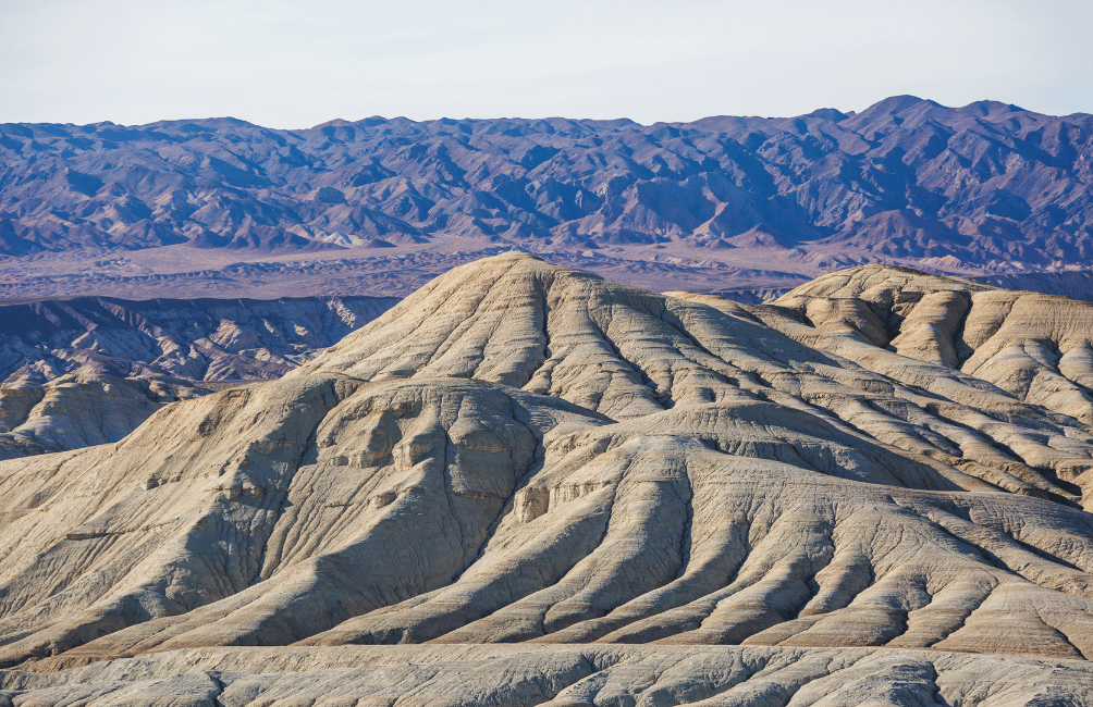
The contrast with the dark volcanic Katutau mountains nearby gives this part of the park an otherworldly, almost extraterrestrial feel — one of the most unusual landscapes in the entire country.
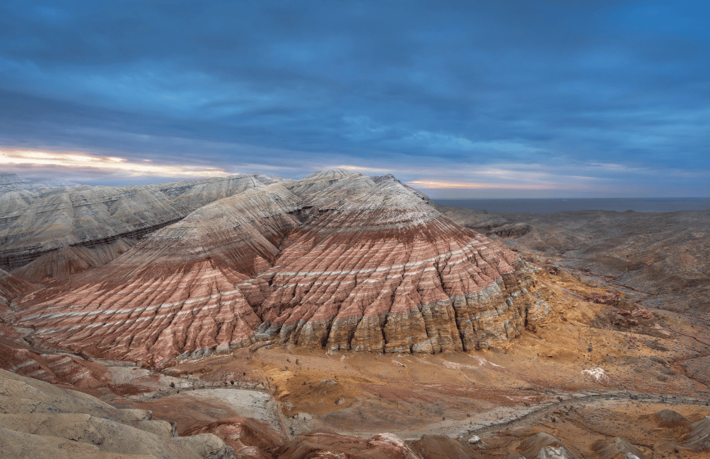
Access is only possible by 4x4 or with a local driver familiar with the tracks, as paved roads stop well before the site.
About 200 km east of Almaty, Charyn Canyon stretches over more than 90 km along the river of the same name. Its best-known section, the "Valley of Castles," features orange-red sandstone cliffs carved into towers, columns and shapes reminiscent of fortified ruins.
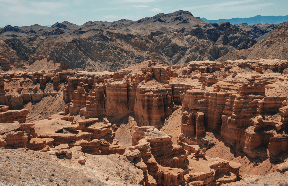
The low, slanting light of morning or late afternoon particularly highlights the colors of the rock.
Nestled at 2,000 meters of altitude in the Tian Shan, near the village of Saty, Lake Kaindy was formed in 1911 following a landslide triggered by an earthquake, submerging an entire spruce forest.
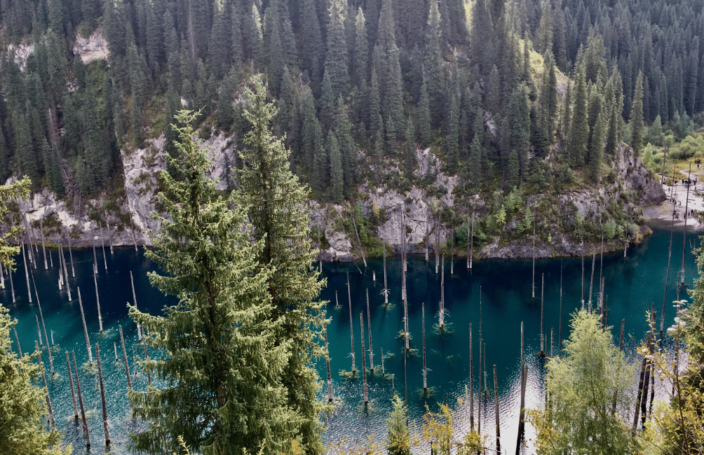
More than a century later, the petrified trunks continue to emerge from the icy turquoise waters, creating one of the most photographed landscapes in the country.
Access from Saty requires a 4x4, as the track is often muddy or slippery.
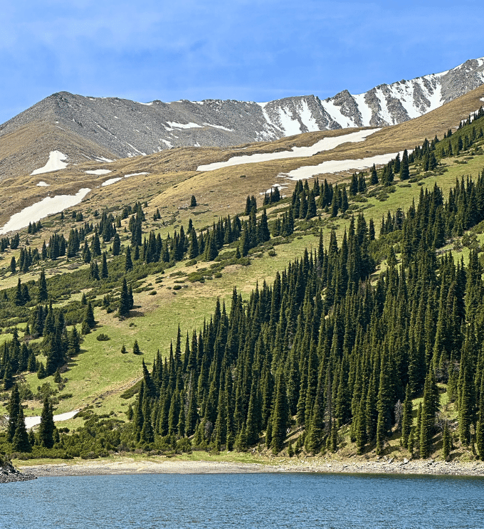
A few kilometers from Kaindy, the three Kolsay lakes are spread across the valley between 1,800 and 2,700 meters of altitude, surrounded by Siberian fir forests and snow-capped peaks.
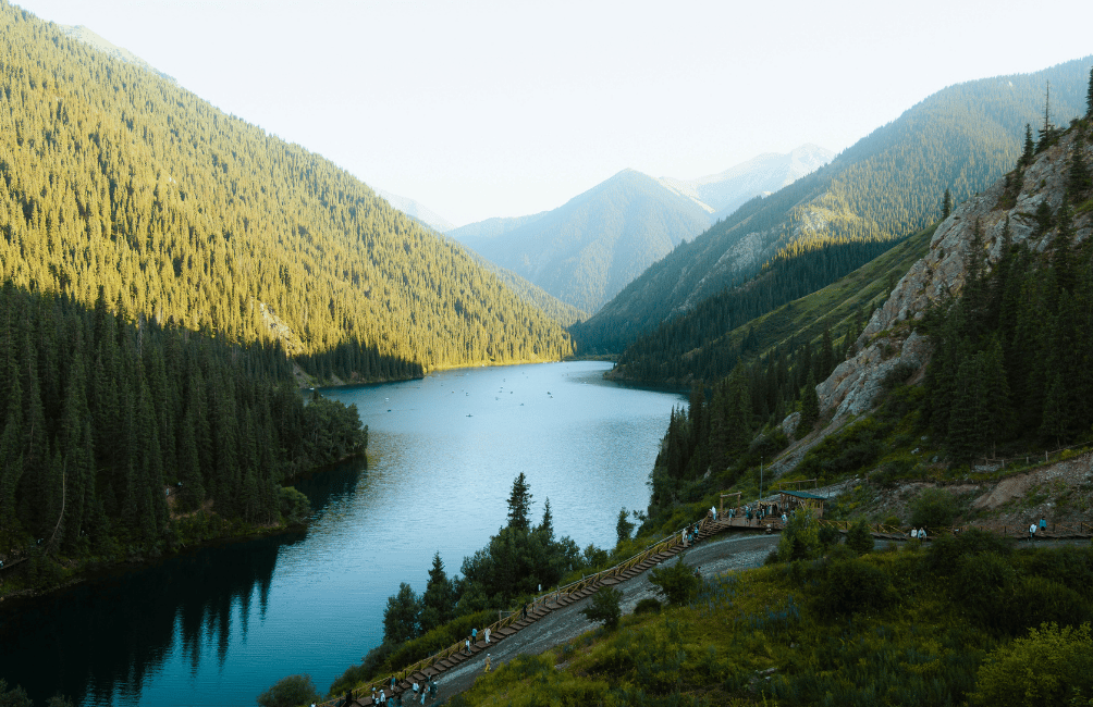
The lower lake is easily reached on foot or by car, while the intermediate lake, wilder in character, must be earned after several hours of hiking on a trail with significant elevation gain.
The upper lake, the most remote of the three, requires a full day of walking or several days of trekking with camping, rewarding the most motivated hikers with near-total solitude, far from any crowds.
In the west of the country, on the former seabed of the Caspian Sea, the Mangystau region is home to one of the most spectacular and least-known landscapes in Central Asia.
At Bozjyra, sharp-edged chalky cliffs rise abruptly above a desert plain.
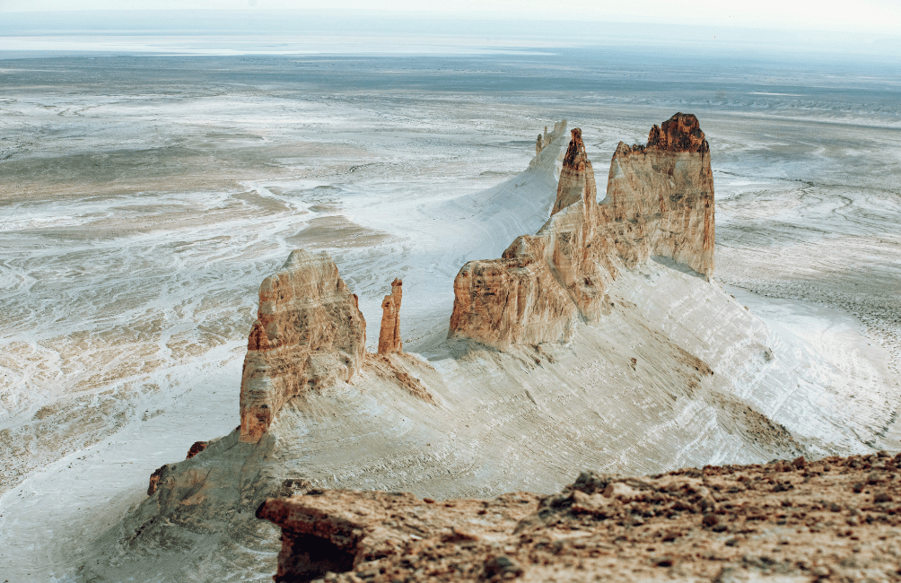
The site, difficult to access, can only be reached by 4x4 from Aktau, the region's main city, after several hours on unpaved tracks.
🧭 Dreaming of discovering these extraordinary landscapes with locals who know every track and every corner of the country? Contact us, and we'll help you build a tailor-made itinerary, from the must-sees of the southeast to the still-confidential reaches of the Mangystau, or join one of our upcoming expeditions.
Scattered over several kilometers in a valley of the Mangystau, hundreds of perfectly spherical stone balls, ranging from a few centimeters to over two meters in diameter, litter the ground like an unreal set. Their formation remains debated between natural geological phenomena and local legends of petrified dragon eggs.
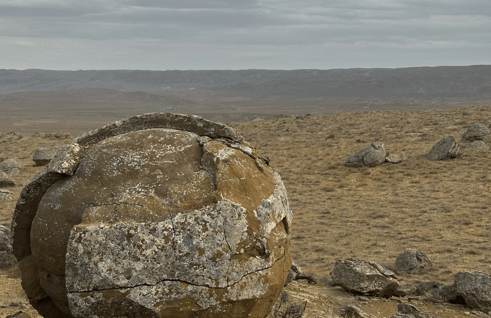
The site is located near Bozjyra and is generally combined with a visit to the cliffs during the same excursion.
Also in the Mangystau, Mount Sherkala rises alone in the plain, its distinctive conical silhouette earning it the nickname "shark's tooth" or "king's hat," according to local accounts.
Ancient legends tell of a city that once existed at its summit.
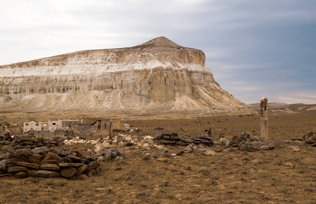
The site is easily visited on a day excursion from Aktau.
The desert plateau of the Ustyurt stretches for hundreds of kilometers between Kazakhstan and Uzbekistan, offering a mineral, arid landscape as far as the eye can see.
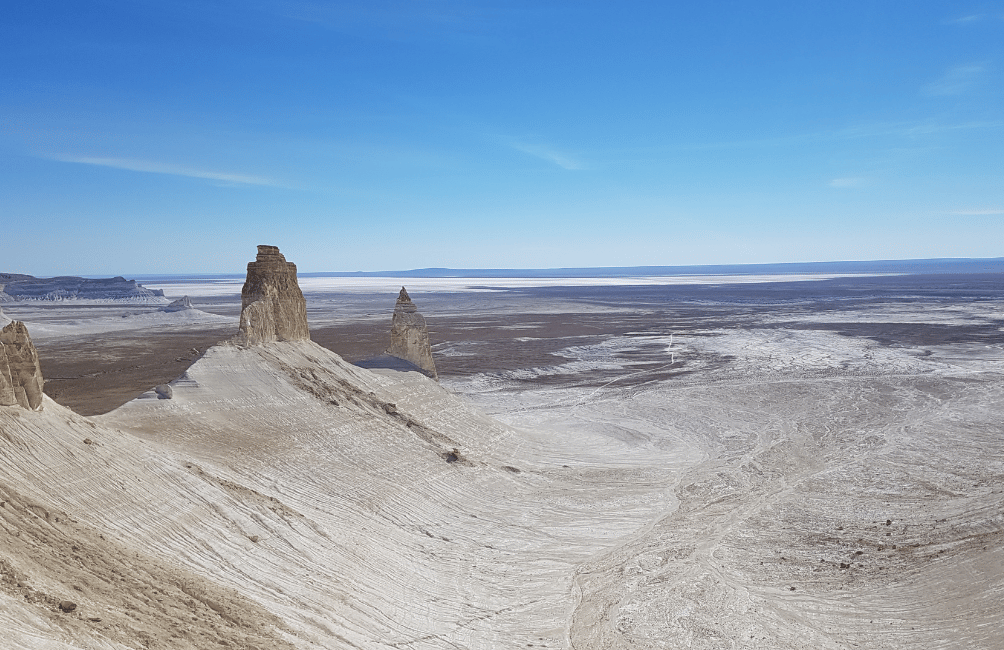
On the edge of this plateau lies the Karagiye Depression, one of the lowest points in Central Asia, more than 130 meters below sea level, surrounded by steep cliffs that contrast with the flatness of the surrounding desert.
The sixth largest lake in Asia, Lake Balkhash has a feature unique in the world: its western half is freshwater, while its eastern half turns salty, with no clear physical barrier separating the two.
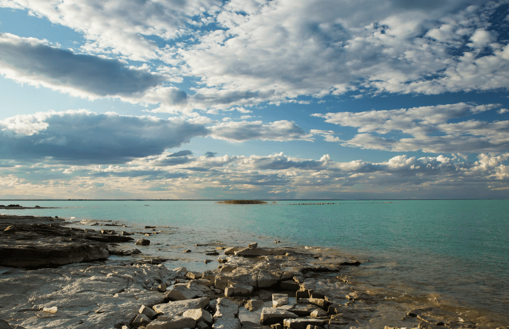
Lined with sandy beaches and reed banks, it remains little visited by foreign travelers, even though it offers a way to get off the beaten path just a few hours' drive from Almaty.
Rising abruptly from the central steppe, halfway between Almaty and Lake Balkhash, the pink granite rocks of Bektau-Ata form an isolated massif, shaped by erosion into rounded, stacked formations.
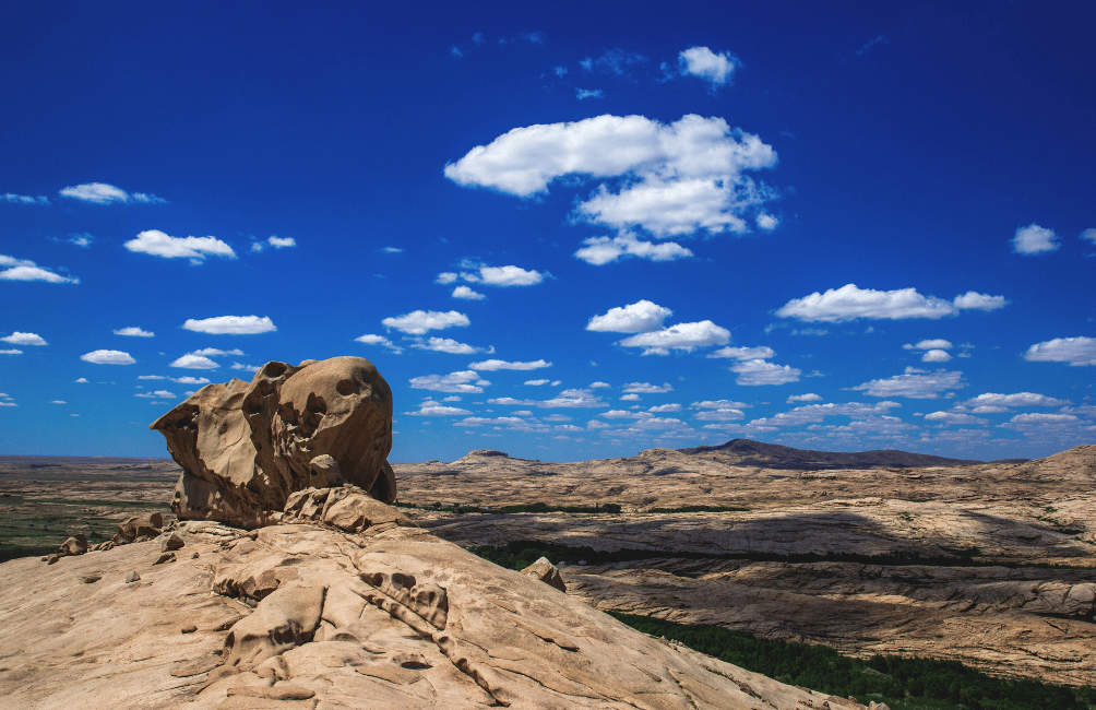
The site, sacred to Kazakh nomads for centuries, is ideal for beautiful hikes and offers the chance to spot discreet wildlife, far from any tourist crowds.
On the road between Almaty and the Kolsay Lakes, the Bartogay Reservoir spreads its turquoise waters amid a landscape of dry hills and ochre steppe.
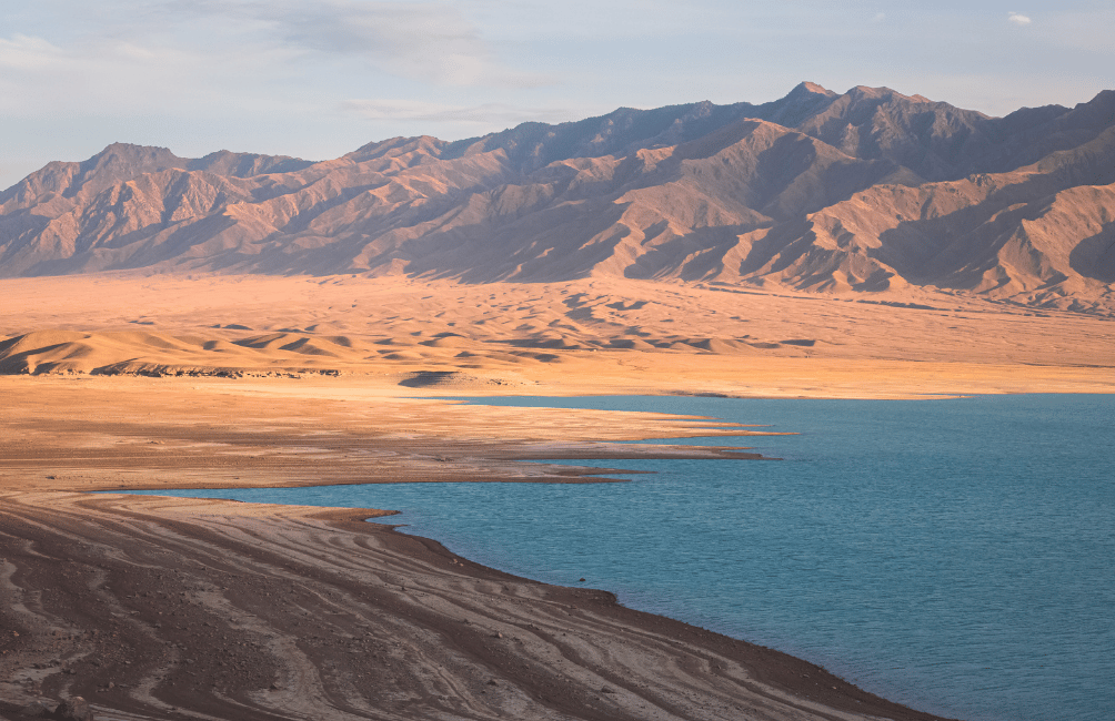
Less spectacular on its own than the other sites on this list, it illustrates well the diversity of tones and terrain you cross through in just a few hours' drive in the southeast of the country, between desert, mountain and water.
These 12 sites are spread across two major regions, hard to combine in a single trip: the southeast of the country around Almaty (Charyn, Kaindy, Kolsay, Altyn-Emel, Bartogay, Bektau-Ata) and the desert west of the Mangystau (Bozjyra, Torysh, Sherkala, Ustyurt), accessible from the city of Aktau, on the Caspian coast.
Many of these places, especially in the Mangystau, can only be reached by 4x4 with a local driver who knows the tracks, as the lack of landmarks and network coverage makes independent driving risky.
This is also what makes them such well-preserved destinations, far from the crowds, where traveling on a small scale with local guides truly makes sense.
The best period remains late May to mid-June or September to early October, for pleasant temperatures both in the canyons of the southeast and in the Mangystau desert, which can become unbearably hot in the middle of summer.
Allow at least 7 to 10 days to comfortably explore the southeast around Almaty, and 5 to 7 additional days for the Mangystau, as the distances between sites are significant and the tracks can sometimes be long to travel.
For most of the places on this list, particularly in the Mangystau and the more remote areas of Altyn-Emel, a 4x4 with a local driver is essential: roads aren't always paved, distances are long, and finding your way can be difficult without knowledge of the terrain.
Population of Kazakhstan: travel guide
Shymkent, Kazakhstan: complete guide to discovering the country's 3rd largest city
The Mangystau region in Kazakhstan: spectacular desert landscapes
Winter in Kazakhstan: festivities, activities and traditions
%20(1).gif)
.png)